
Monday, October 31, 2016
Moon and Clouds
Once in a while, at twilight, the right combination of moon and sunlit clouds comes together to make a picture possible. Here is one of those times. Click on the image to make it bigger.

Sunday, October 30, 2016

Saturday, October 29, 2016
Construction Photographs
While I was working as field editor for the regional Construction News magazine, I would visit quite a few chemical plants up and down the Mississippi River, taking pictures of building projects of various kinds and complexities. Here are a few of the in-plant photographs.


Friday, October 28, 2016
Crosby Arboretum Visit
The Crosby Arboretum is a plant-intensive nature area that spotlights the variety of plants and terrain in southern Mississippi. It is located just across the Louisiana state line in Picayune, MS, sitting between Interstate 10 and the municipal airport. So many of its plant exhibits may pertain to St. Tammany as well.
It is an oasis of beautiful scenery, wildlife and a rich assortment of plants many of which I had never seen before. Here are some photographs from the arboretum, showing the boardwalks through the marsh, the pond (which had hundreds of turtles in it) and the open air pavilion which is the setting of many weddings. Small signs point out the trailside attractions, naming the plants.
On its website, it's billed as a premier native plant conservatory, which helps protect the biological diversity of the entire region. CLICK HERE to go to the Arboretum's website. The facility is part of the Mississippi State University extension services. It features a great visitor's center, several areas of special interest, exhibits, and walking trails. Not only that but there is a full slate of special programs on specific topics, from presentations on blacksmiths and metal forging to pumpkins to all kinds of field walks and other topics of interest (not all having to do with plants).


Thursday, October 27, 2016

Wednesday, October 26, 2016
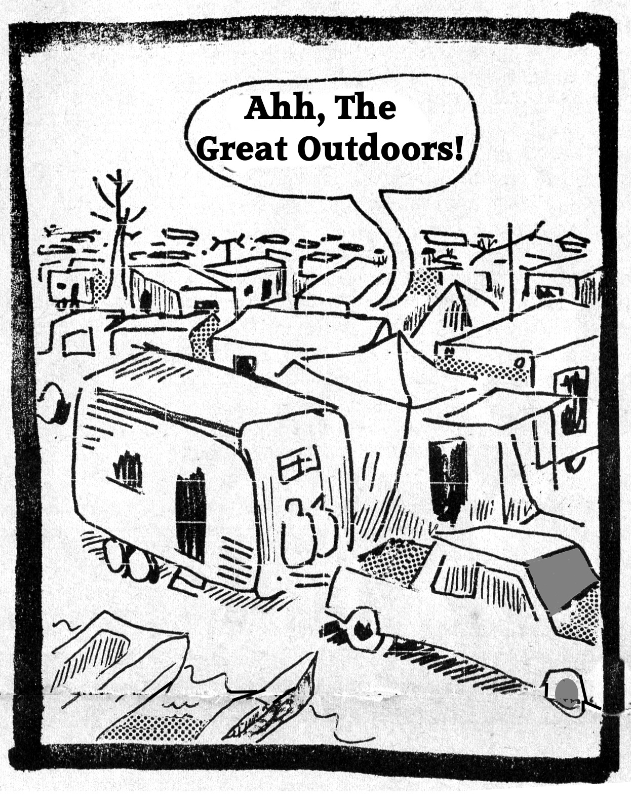
Houses on the Move
Nothing breaks the routine of a day as driving along and noticing there's a house in the middle of the road, on a bridge.


Tuesday, October 25, 2016
Monday, October 24, 2016
AAUW Community Conference 1986
Here's a brochure from the 1986 American Association of University Women's "Pathways Conference" featuring speakers on a variety of different topics. Click on the images below for larger, more readable versions.


Sunday, October 23, 2016
Salvant Honored By Area Coaches
Several years ago Paul Salvant was honored by area athletic coaches for his many years of sports reporting for the St. Tammany Farmer newspaper.


Saturday, October 22, 2016
The Covington Daily News
In 1972 I was fortunate to join the staff of the newly-established Covington Daily News. It was put together by Lou Major Sr., and featured the talents of his son, his daughter-in-law, and key Covington community personalities as well as myself.
Here are the pictures of those who worked on the newspaper at the beginning of its run. It lasted one year, and then transitioned to a twice-a-week newspaper after merging with the Mandeville Bantam.
Click on the images below to see a larger version.


Here are the pictures of those who worked on the newspaper at the beginning of its run. It lasted one year, and then transitioned to a twice-a-week newspaper after merging with the Mandeville Bantam.
Click on the images below to see a larger version.


Friday, October 21, 2016
Bob Sander
Here's an article I wrote in 1973 about Bob Sander, a Covington taxidermist and house plan designer. Click on the article for a larger, more readable view.


Bob worked at Poole Lumber Co. for many years in their home plans department, drawing up house plans for customers. He was a member of the American Institute of Building Design and was experienced in plans for everything from small houses to large estate homes. Every year Poole Lumber would put out a calendar featuring Bob's most popular designs.

Bob Sander

Thursday, October 20, 2016
Creek Magic
The following is a column that I wrote in 1973 about creeks and the magical influence they have on us. Click on the article for an enlarged version.


Wednesday, October 19, 2016
Bluff Park Map
The illustration of Bluff Park near Hoover, AL, was done for a nearby restaurant owner who wanted to use it to print on his placemats. The small community, sitting on the top of Shades Crest Mountain, featured a road side park with an overlook into the Birmingham area. Here is the illustration.


Tuesday, October 18, 2016
It's Pumpkin Time!
Of the many pumpkin pictures I have taken over the years, here are a few. Happy October!


Monday, October 17, 2016
Greenwood, Mississippi, Map
The pictorial map of Greenwood, MS, was interesting because of the history of the Greenwood area, the vibrant downtown, and the cooperation of the newspaper and businesses there. Click on the image to see a larger version.


Sunday, October 16, 2016
The Definition of Hard Work
A full day of hard work is fully explained in the following column. Click on the image to see a larger more readable version.


Saturday, October 15, 2016
Hammond Maps
Drawing a pictorial map of Hammond was enjoyable, mainly because the business people and chamber of commerce were happy to see it being done. There were two maps, one of just the downtown area and the other showing a larger view. The downtown area map was purchased outright for promotional use and also appeared on the inside cover of a history book being published by a bank there. Click on the images to see a larger view.


Top Half of the 1984 Map

Bottom Half of the 1984 Map

Friday, October 14, 2016
Chipmunk Photo
This chipmunk was photographed at the top of one of the mountains near Estes Park, Colorado. He was fishing for peanuts thrown on the ground by people riding the sky tram cable car.


Thursday, October 13, 2016

Wednesday, October 12, 2016
Monday, October 10, 2016
Hurricane Creek Park
When I lived in Cullman, Alabama, in 1988 I became friends with Buddy Rodgers who owned Hurricane Creek Park north of town. It was a fascinating multi-level nature center and walking trail that crossed a big creek at the bottom of a deep canyon and featured caves, cliffs, and a swinging rope bridge, plus an inclined railway to get you back to the top of the ravine if you didn't want to hike the trails in reverse.

I drew a map of the trails in the park and painted a large version of it on a billboard at the park entrance so people would know what they were getting themselves into before striking off into the ravine.
Rodgers had bought the park acreage after flying over it in his military jet one day and seeing the remarkable geological features of the ravine, the creek, and the Hwy. 31 bridge crossing it. The park opened in 1961. It is a 67-acre park built into the slopes of a 500-foot gorge and features a variety of rock formations.

He built a visitors center, a ticket booth (out of an old bank drive up window he bought at an auction) and numerous picnic tables. Building the swinging bridge over the creek was an engineering marvel. The creek itself was dammed at one point to create a small pond near the picnic area.
CLICK HERE for a Google Maps view of the park location.
After Rodgers passed on, the city acquired the property and turned it into a fine recreational wilderness area, with rock climbing facilities and other attractions.
I lived in back of the visitor's center for a few months, walking the trails in the evening to pick up trash, and doing what I could in my spare time from my newspaper job to help him with the park. That ended abruptly when a big chunk of the cliff above the visitors center broke off, rolled down the hill, and crashed through the wall of the bathroom. Fortunately, I wasn't home at the time.
Here's the map:

Buddy Rodgers died in 2008, leaving a legacy that will live for years to come. For more information on the park, CLICK HERE.
St. Bernard Parish Map
One of the largest pictorial maps A.G. Crowe and I produced portrayed St. Bernard Parish. I am originally from Chalmette, so it was a good opportunity to drive around and see how the place had grown since I left (in 1954). Here is a large scale overview of the map.


Entire Map
Larger scale sections


The St. Bernard Parish Map was updated in 2017. Below is a copy of the new map.

Saturday, October 8, 2016
West Bank Antiques Map
Some antiques shop owners contacted me and asked me to do a map showing how to get to their shops on the West Bank of New Orleans. Here is the resulting map. Click on the image to see a larger size.


Friday, October 7, 2016
Inn at City Park
While visiting in Fort Collins, CO, I stayed at the Inn at City Park, a great bed and breakfast just off the main city park. Here are some photographs.


When I got back home, I started telling friends what a great place it was. When I checked their website, I found out that they had closed. Somebody had bought the house and converted back into a private residence. I can fully understand that, just sad that I won't be staying there again.
Subscribe to:
Posts (Atom)