Tuesday, April 30, 2019

The Time Museum

Passing through Jefferson, Texas, recently, I stopped in to tour the Museum of Measurement and Time. It featured more than 500 clocks, but not only clocks but old phones, maps, typewriters, record players, historic land surveying equipment and even old computers.

Click on the images to make them larger. 


There were clocks of all kinds. 


Ornate Clocks


Wall clocks, mantle clocks...


Novelty clocks...


Grandfather clocks, specialty clocks...


Seth Thomas clocks, as well as Avon Collectible Cologne Bottles, more than a hundred salt and pepper shaker sets...


The owner is a retired surveyor, so there were a lot of surveying instruments, antique rods and chains all the way up to laser sighting devices. Plus a great collection of old maps. 


This Planters Clock not only told you the time, but also the best dates to plant certain type of vegetables.


A fine selection of old Victrolas...


Hand grinder organs and cylinder music boxes...


Beautiful sounding disk music boxes...


Even old novelty phones and early computer systems


A classic wall phone


Other old phones

Admission to the museum is free of charge, and the owner and his wife Johnny and Edith Ingram give you a personally guided tour, explaining the various types of clocks, even making one or two strike the hour so you can hear the chimes. 

He was especially proud of one clock that kept track of not only the time, but also the months and the dates of the month as well as the days of the week. 

All in all, it was a great tour of time pieces dating back to far before the turn of the 20th century.  

Tuesday, March 19, 2019

French Quarter Map - 2019

I just finished drawing a detailed French Quarter map. It shows every building in the New Orleans Vieux Carre'. The copyrighted map will be used by A.G. Crowe on his ShopLocalUSA.online website to promote local businesses. Click on the image to see a larger version of the map. 


To see it on the ShopLocal website, CLICK HERE. 
Once you get to the new page, click on the plus sign (+) in the upper left corner to see better detail. 

Here's a video of the various stages of production. Click on the play triangle in the center of the image, and then when the video starts playing, click on the double brackets [ ] in the lower right corner to make it full screen.


Old Postcard of French Quarter Courtyard Scene

 
The odd thing about doing this map was the memory I have from the third grade at Live Oak Elementary School in New Orleans. Our class took a field trip to the Cabildo at Jackson Square, and when we got back to the classroom, we wrote about our experience. 

I included a drawing I did of Andrew Jackson riding his horse like on the statue. The teacher, Mrs. Folse, liked the drawing so much that she asked me to draw it two more times for other projects. So I was well acquainted already with drawing Jackson's statue in the middle of Jackson Square. That led to an appearance on the local television program "Know Your Schools," in which I was interviewed about our class field trip. 

During that interview they asked me who was the man represented by the big statue at the bottom of the staircase at the Cabildo, and I had no idea. Finally they said it looked like Bienville, and I agreed. So then on I started paying more attention when people were telling me historical things that I should be remembering. I was only 8 years old at the time, so I didn't feel too bad about the lapse.

Wednesday, January 23, 2019

New Orleans East Map 2019

A new cartoon map of New Orleans East has just been completed. It took me just over a week to draw it, and it is shown below. Click on the image to make it larger. 


I lived for a time in Gentilly, right off Chef Menteur highway, so producing the map of the area was like a trip back home. Of course, New Orleans East today is slightly different than the New Orleans East of 65 years ago. Hurricane Katrina really did a number on it. But the area is now home to numerous parks, lots of charter schools, and interesting businesses, not to mention the shoreline of Lake Pontchartrain.

Lakefront Airport is a treasure in itself.

Dedicated on Feb. 9, 1934, Lakefront Airport was originally called Shushan Airport. The Art Deco terminal was New Orleans only commercial air hub until 1946 when Moisant Field opened. The terminal was restored to its original grandeur after flood waters from Hurricane Katrina damaged the structure. Classic wall murals were saved.

For many years, the marshy areas of eastern New Orleans went undeveloped, except for the higher ground along the Chef Menteur ridge and also along the Lake Pontchartrain shoreline. 

Early settlement took place along Bayou Saurage, which provided the only access to Fort McComb. The industrial canal, completed in 1923, hindered eastward progress for years due to limited bridge crossings, though Lakefront Airport, built around 1930, brought considerable aviation activity to the Seabrook area.


Major early efforts to develop the area failed, but around 1960, the LaKratt Corp. brought rapid development to the heart of the area, known as "Lake Forest," having purchased 5000 acres from the widow of Joe. W. Brown, who had donated 60 acres to the city for a park. 


When new drainage and swamp reclamation became feasible, they finally opened the area for widespread use. The new Interstate 10 High Rise and other road and bridge improvements helped provide access as well.
 

Wednesday, October 24, 2018

Cajun Gold New Edition

I just published a new edition of my novel "Cajun Gold." Written under the pen name of Cliff Madison, it's about a Cajun who finds 200 pounds of gold buried in the woods near his house. Lots of laughs as he tries to hide it from his neighbors, his wife, and the local news media. As the cover says, finding that gold kind of "messes up his plans for the weekend."


To order a copy of the book, CLICK HERE.

Wednesday, October 17, 2018

Ruth's Roots Retreat

On a side street behind the Hancock County Courthouse in downtown Bay St. Louis, Mississippi, is "Ruth's Roots," an island of tranquility in a place that is already pretty tranquil. The plot of land, almost adjacent to the train tracks that cross the bay, offers a wide variety of flowers, animals, paintings, and best of all, places to sit and enjoy it all. It is a community gardening opportunity that has lots of friends and supporters.

Here are some pictures of the hidden retreat, but enter at your own risk. The overwhelming sense of nature and and peace of mind might just make you forget your cares and worries for a while. 

Click on the images to make them larger. 


Painted doors serve as part of the fencing


There are a variety of flowers


There's even a dragon in the middle of it all


A chess board awaits


There are chickens and rabbits


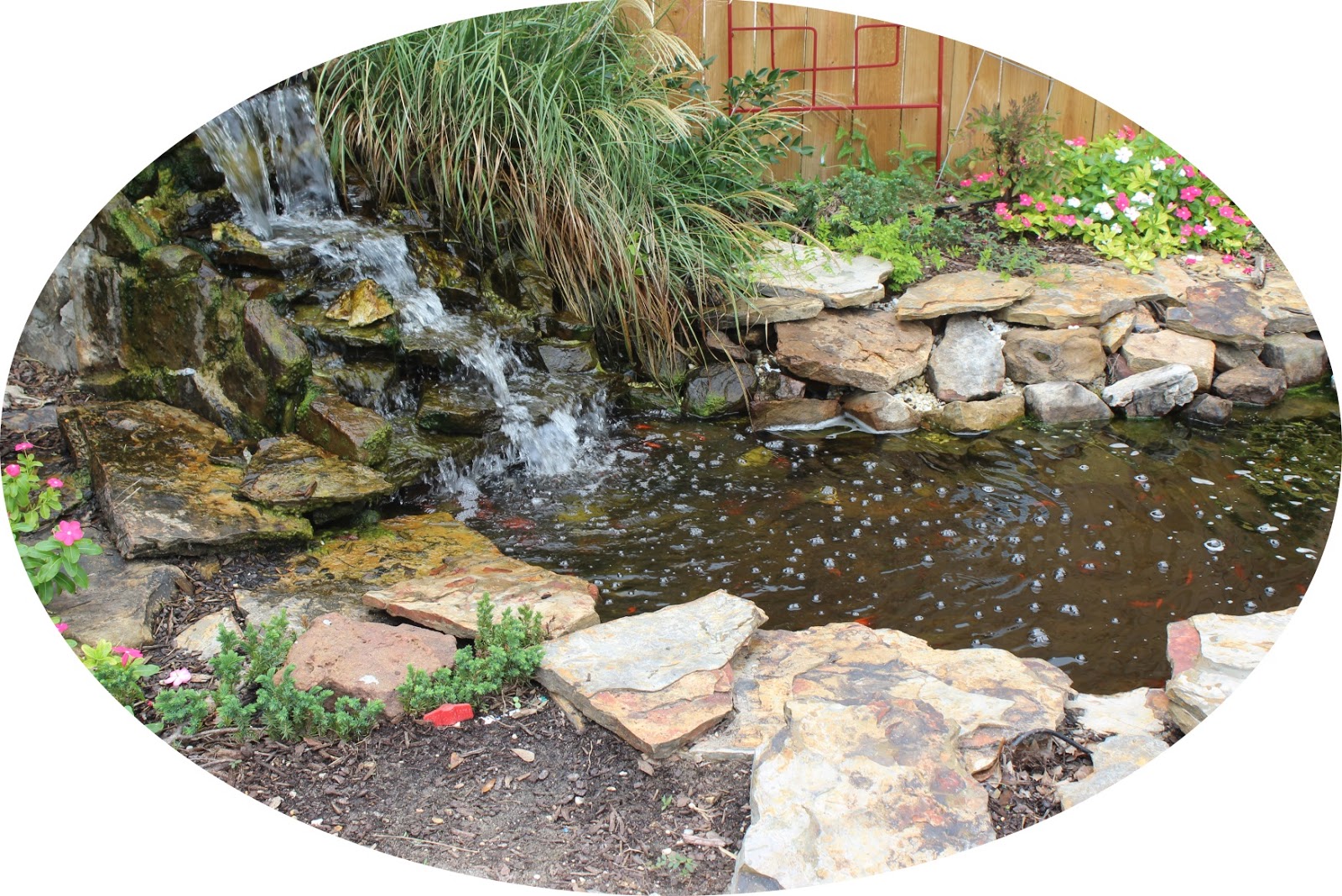
A waterfall


A large seating area for informal meetings


A water-carrying statue


A very colorful alligator


Sidewalk paintings of sea life


A portrait of Ruth in the center patio


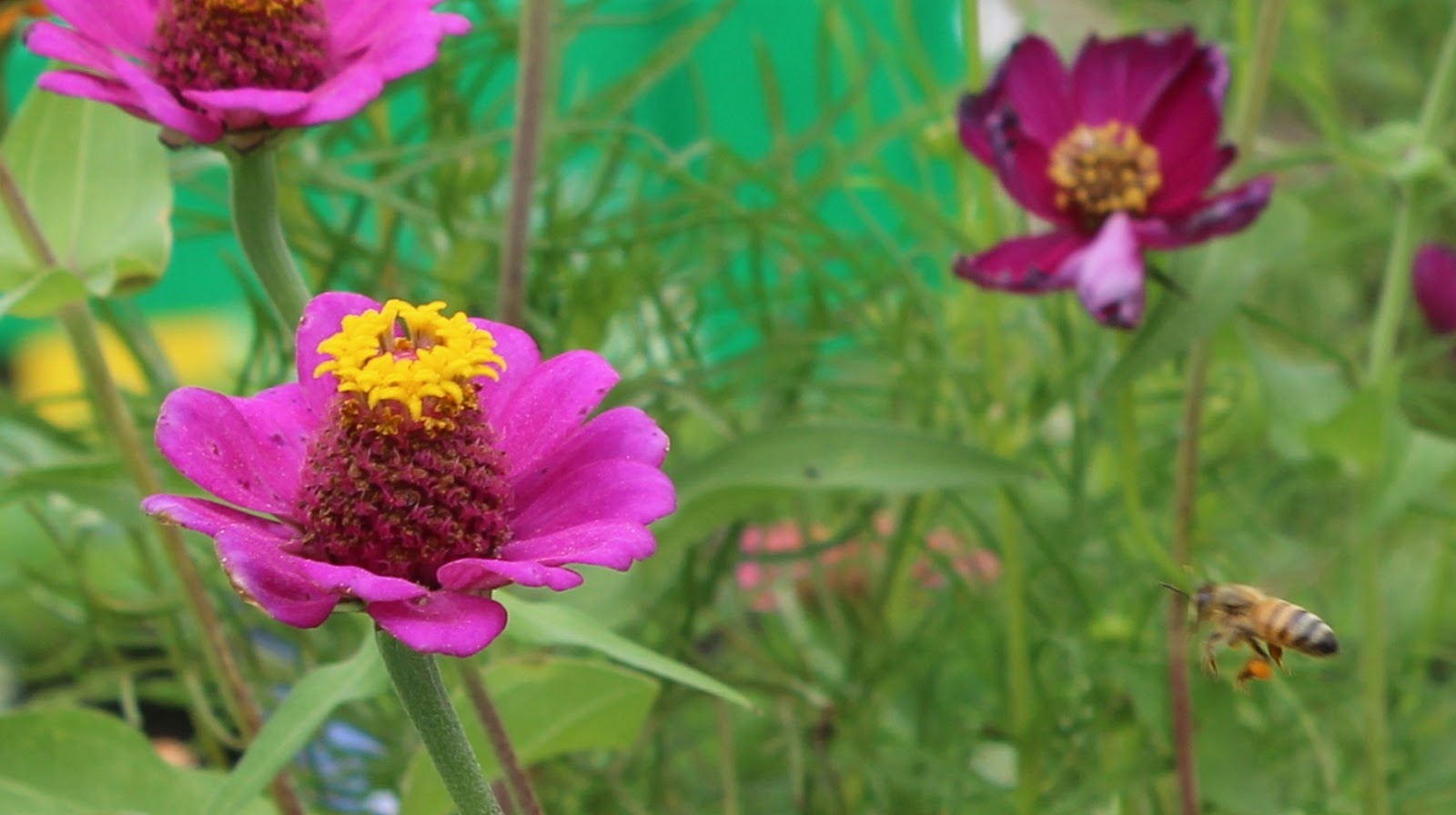
Butterflies and bees


And then, there is the wildly-painted piano 


HERE's A LINK to the Google Maps location of Ruth's Roots.

Ruth's Roots Facebook Page

According to the Facebook page, Ruth's Roots is a community garden that can serve the community’s youth through enrichment and is located at 130 Court St in Bay St Louis, Mississippi. Teenagers who need to provide community service hours are used in the maintenance of the garden, and various community service organizations also take part in the care of the place.